
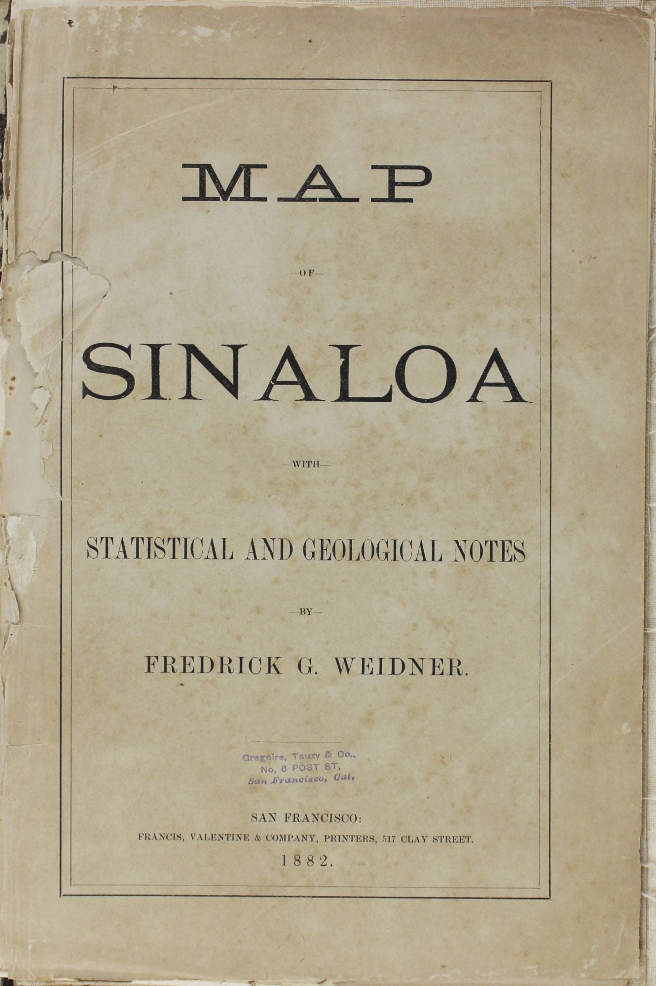
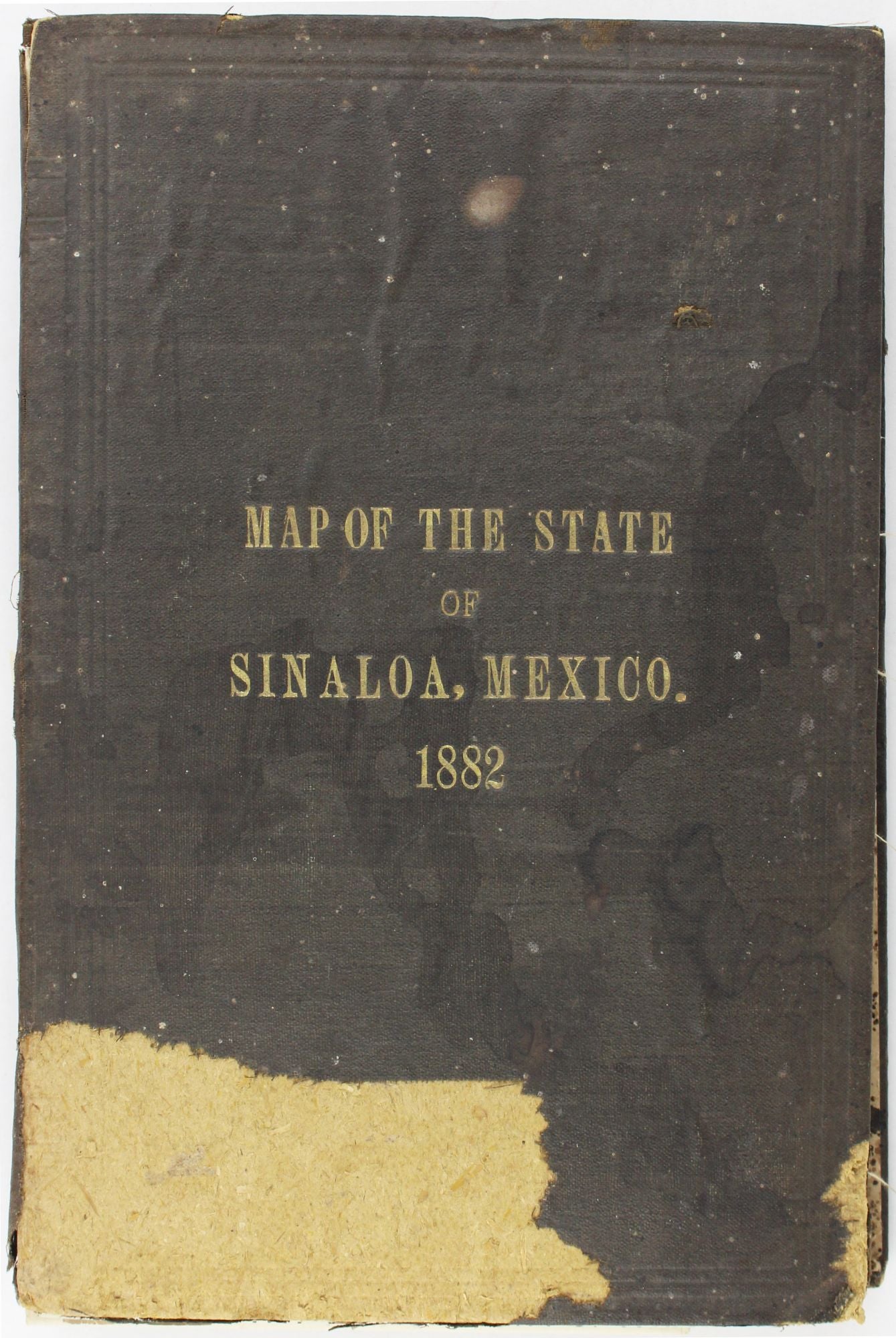
Map of Sinaloa with Statistical and Geological Notes
San Francisco: 1882. Folding map, 36.5 x 29.25 inches, plus 19pp. text. Map backed with linen, in original brown publisher's cloth covers. Spine partially perished, covers worn with loss to cloth; title page detached and text laid in. Map lightly toned, contemporary hand coloring. With several related items laid in. About good. Item #3305
Large and handsome map of the Mexican state of Sinaloa printed in San Francisco. The map is based on surveys made by Frederick G. Weidner, a topographical and mining engineer who served as the state's surveyor. In his introductory text, Weidner claims this to be the first such map of Sinaloa. The accompanying text gives both general statistics and geological observations of the area. The additional material laid in includes two partial maps showing Sinaloa, one with what we presume to be Weidner's notations, as well as a sheet of handwritten notes. We locate two copies with the text at the University of California in OCLC, and two further copies of the map alone, at the Huntington and the Rutherford B. Hayes Presidential Center.
Price: $1,750.00