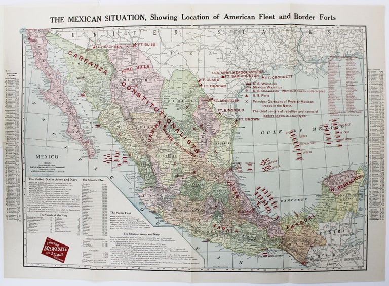
The Mexican Situation, Showing Location of American Fleet and Border Forts
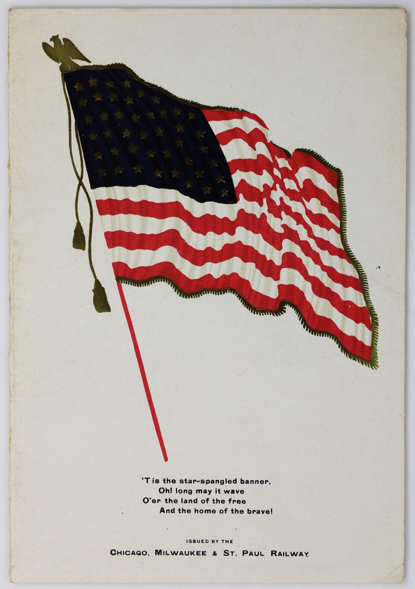
Chicago: Chicago, Milwaukee & St. Paul Railway, [1914]. Folding map, 13.25 x 19 inches. Original patriotic card wrappers. Very minor wear and dust soiling to wraps. Small separation from top edge, repaired with tape on blank verso. Very good plus. Item #2305
An odd and scarce map that details American understanding of the situation in Mexico during the Revolution of the 1910s. Starting with a garden-variety Rand-McNally map of the country, an entrepreneurial employee has made extensive use of red overprinting to show the "chief centers of the rebellion and names of leaders," the "principal garrisons of Federal-Mexican troops in the North," major American forts along the border, and the positions of American and Mexican naval vessels. Several columns of text that replace the inset map of Mexico City and its surroundings in the original enumerate American and Mexican military forces. The map was likely produced in mid- to late 1914, as it seems to show both the Tampico Affair (April 9) and the subsequent occupation of Veracruz (April 21 to November 23). The overall impression is that the United States was using its overwhelming force to play a major role in the Revolution, when it was in fact largely an internal affair. The map was issued as a promotional by the Chicago, Milwaukee, & St. Paul Railway, whose system extended no further south than Kansas City; even more strangely, they have added patriotic wrappers featuring the Stars and Stripes and the lyrics to "America" and "The Star Spangled Banner." OCLC locates copies at just four institutions.
Price: $875.00