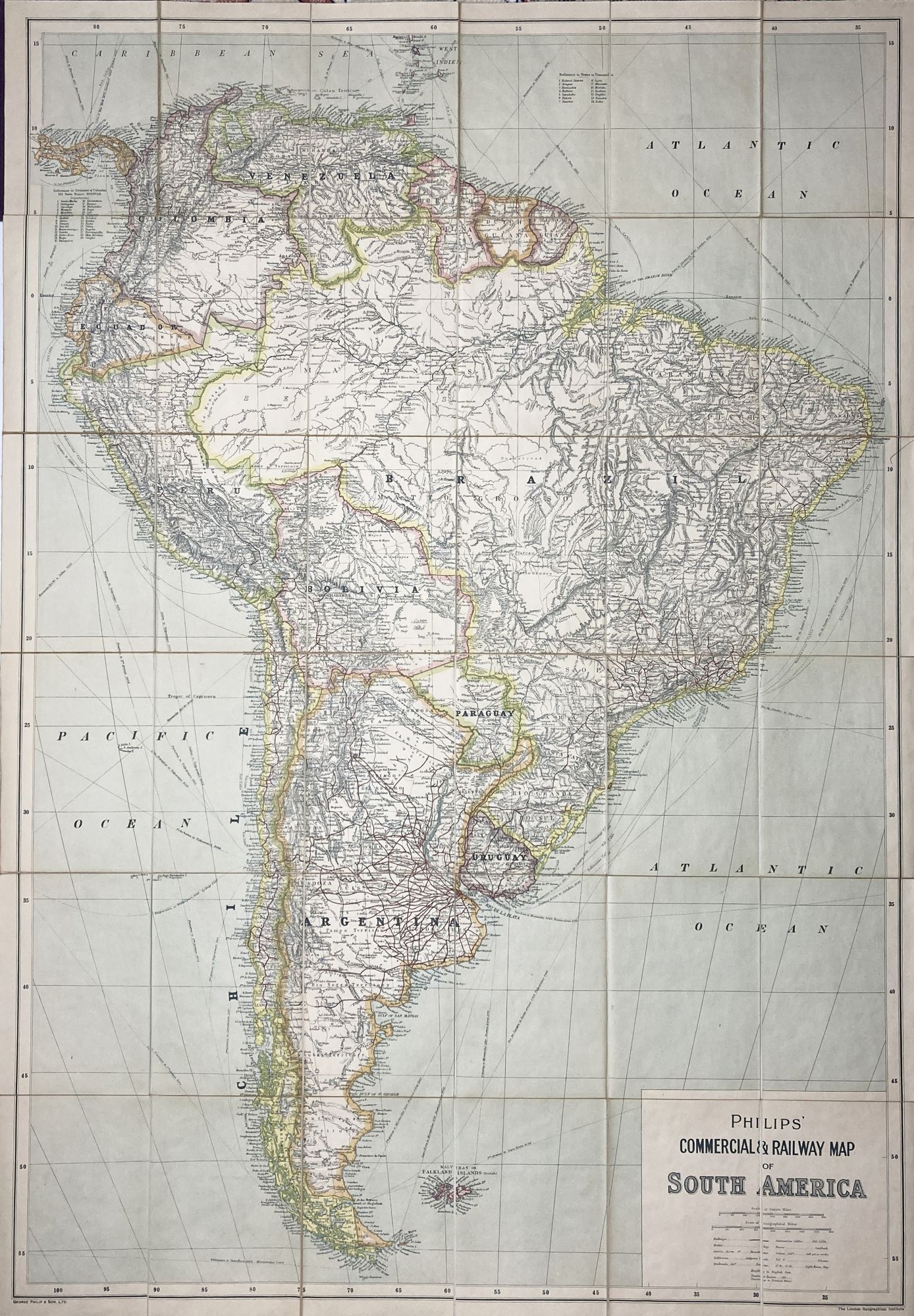
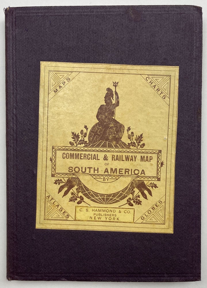
Philips' Commercial & Railway Map of South America
New York: C.S. Hammond & Co., [1930]. Folding map, 40.25 x 27.75 inches. Printed in color with manuscript delineations. In card covers, folded to 7 x 5 inches; linen backed. Minor wear and toning. Very good. Item #2153
A large and detailed map of South America highlighting the continent's railways. The railroads have been delineated by hand in red, the preponderance of them sprawling out from Buenos Aires across Argentina. Topography is identified on land, and paths of shipping routes with distances and underwater telegraph cables have been noted in the oceans. We locate an issue of this title published in London in 1921, but find only one other copy of this 1930 New York edition in OCLC, at UC Santa Cruz.
Price: $650.00