Highway Map of Texas
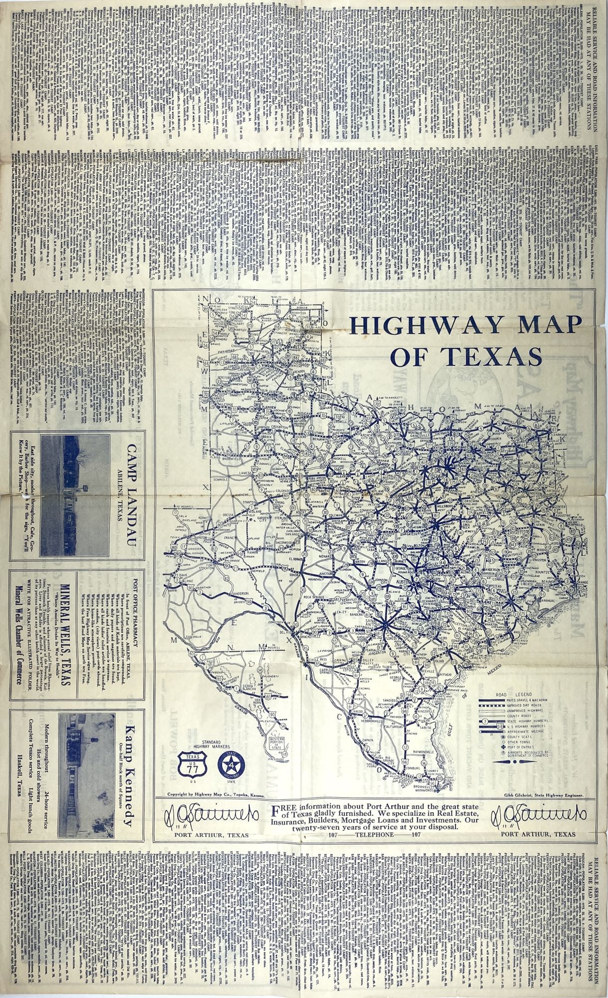
Topeka: Highway Map Co., [1929]. Folding map, 14 x 12.5 inches on a sheet 28 x 17 inches, folded to 8.5 x 4.5 inches. Printed in blue ink. Light wear and minor soiling, some slight separation and minor loss at a few folds. About very good. Item #1921
Early road map of Texas, showing highways throughout the state. One side of the sheet is printed with the map and an extensive alphabetical listing of towns which indicates, "Reliable Service and Road Information May Be Had at Any of These Stations." The other side of the sheet contains numerous local advertisements, including two for competing funeral homes which advertise "Quick Ambulance Service." Relatively scarce, as is normal for such an item; we locate three copies in OCLC, at Stanford, SMU, and the University of Houston.
Price: $450.00