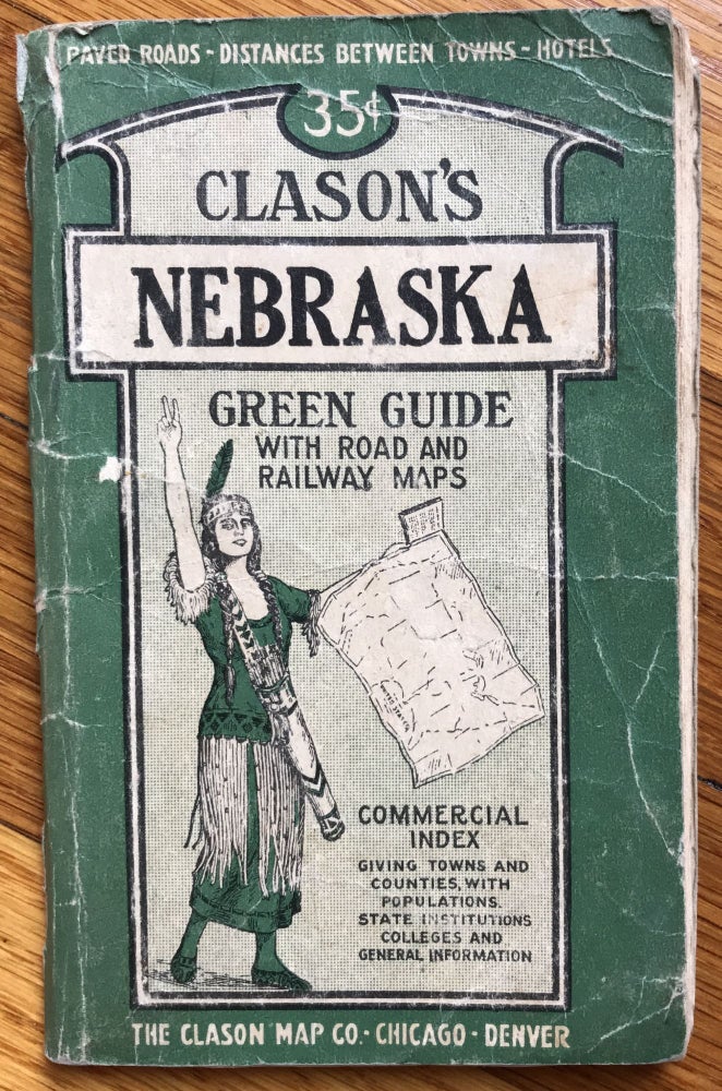
Clason's Nebraska Green Guide with Road and Railway Maps
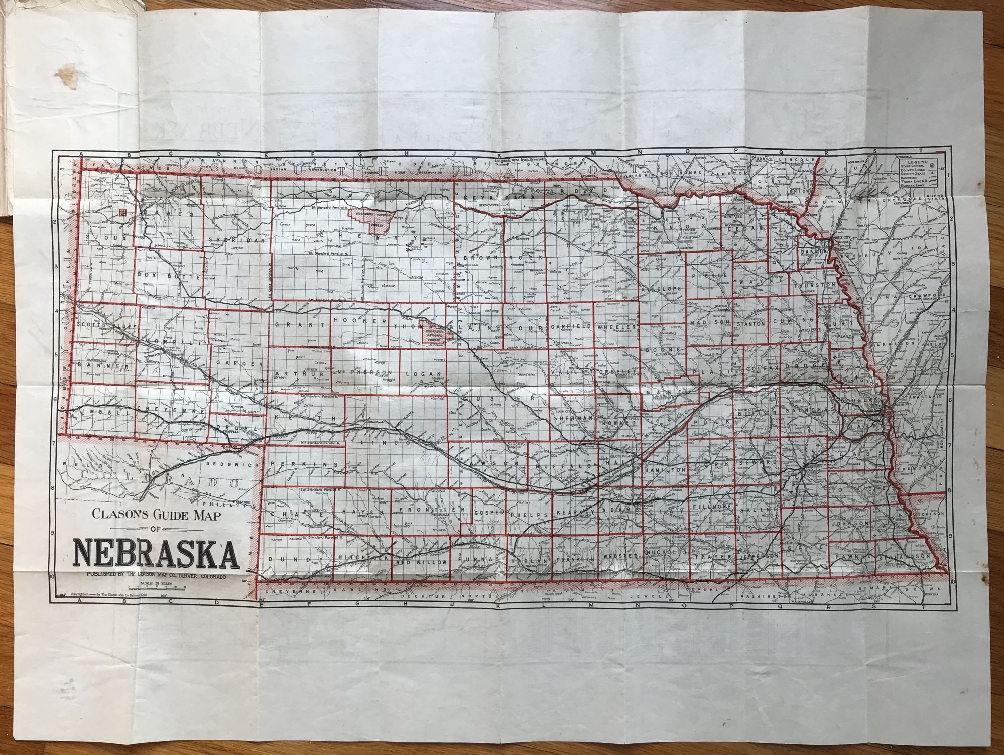
Denver: Clason Map Co., [ca. 1920]. 31,[1]pp. plus folding map, 21 x 28 inches. Original printed card covers, stapled. Wear and creasing to covers, light wear to text. Good. Item #1098
Travel guide for Nebraska, providing brief history and overview for travelers -- particularly auto drivers -- as well as state and city maps, auto routes and distances, and railroads. There is also a commercial index of towns with hotels, industries, altitudes, and population details. There are single-page city maps of Omaha and Lincoln. The large map is printed on both sides, depicting the state on one side showing railroads, while the verso shows "paved roads, all weather roads and other thoroughfares." We locate four copies in OCLC, at Yale, the Colorado School of Mines, SMU, and a copy in Germany.
Price: $400.00