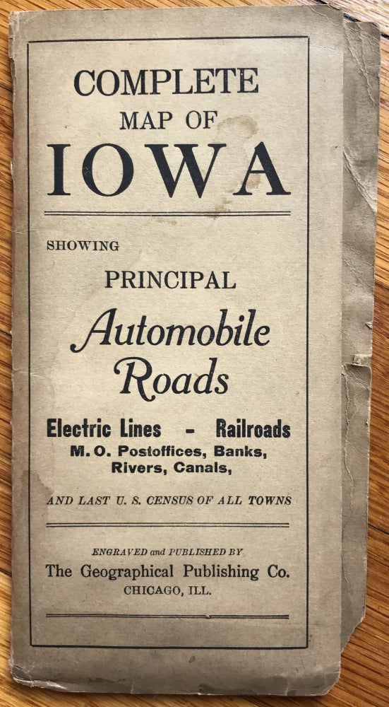
Complete Map of Iowa Showing Principal Automobile Roads...
Chicago: Geographical Publishing Co., [1915]. Folding map, 20.75 x 27.75 inches. Original printed wrappers. Light wear and dust soiling to wraps. Several short separations along fold lines. About very good. Item #1096
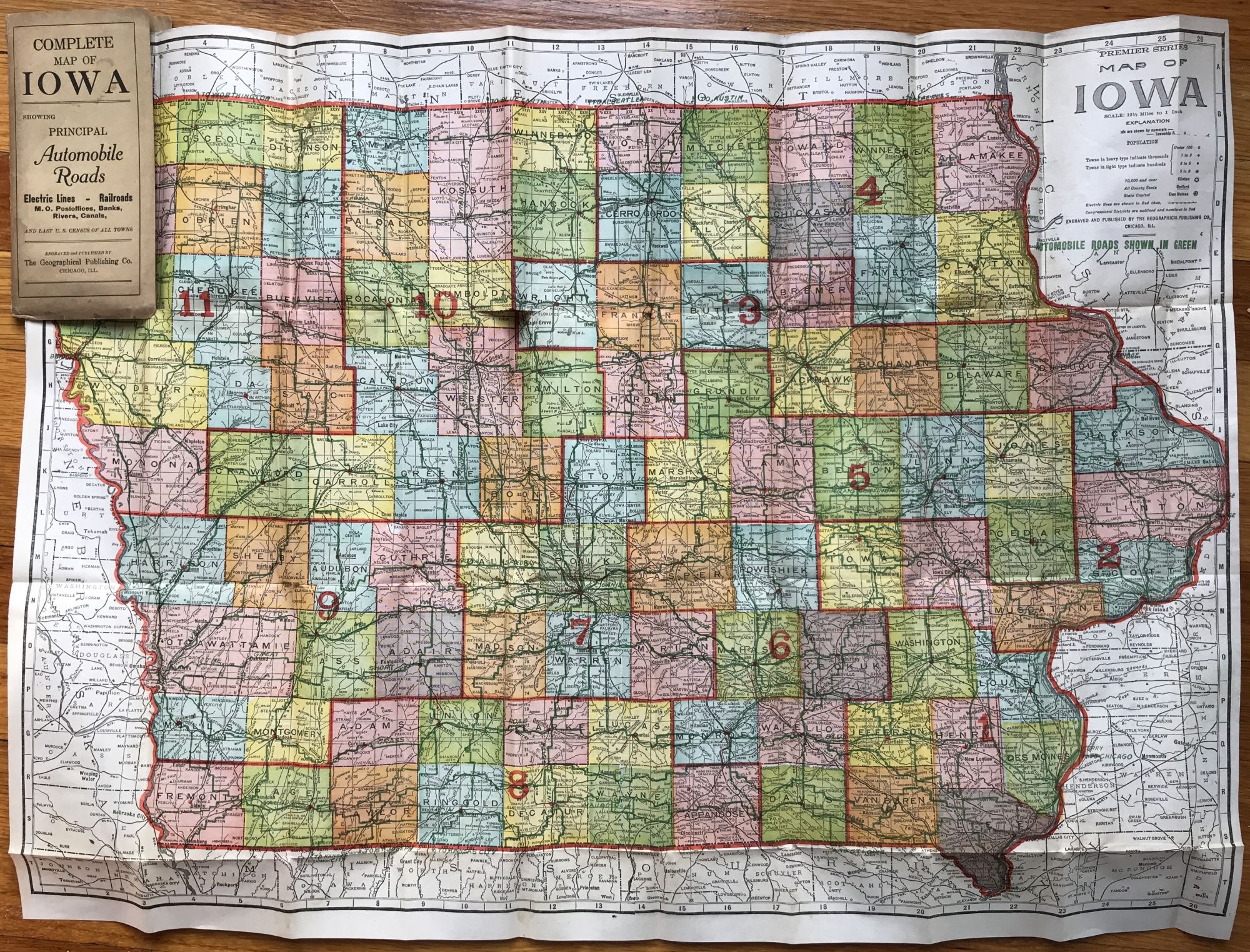
Handsome map of Iowa, with each county printed in color, delineating all the automobile roads in green. Also titled "Premier Series Map of Iowa," it was published by the Geographical Publishing Company of Chicago. The verso has the 1915 census data for each town in the state. Interestingly, in addition to the roads being marked in green, the map indicates that "electric lines are marked in red" -- thus this is also an early depiction of the spread of electricity across the state of Iowa. Electric lines and roads all spider out from Des Moines in the center of the state. We locate one copy in OCLC, at Grinnell College in Iowa. A good visual record of the march of progress across the state.
Price: $450.00