
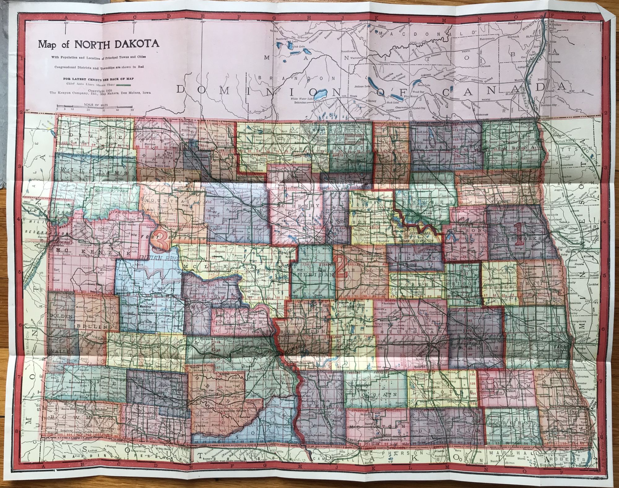
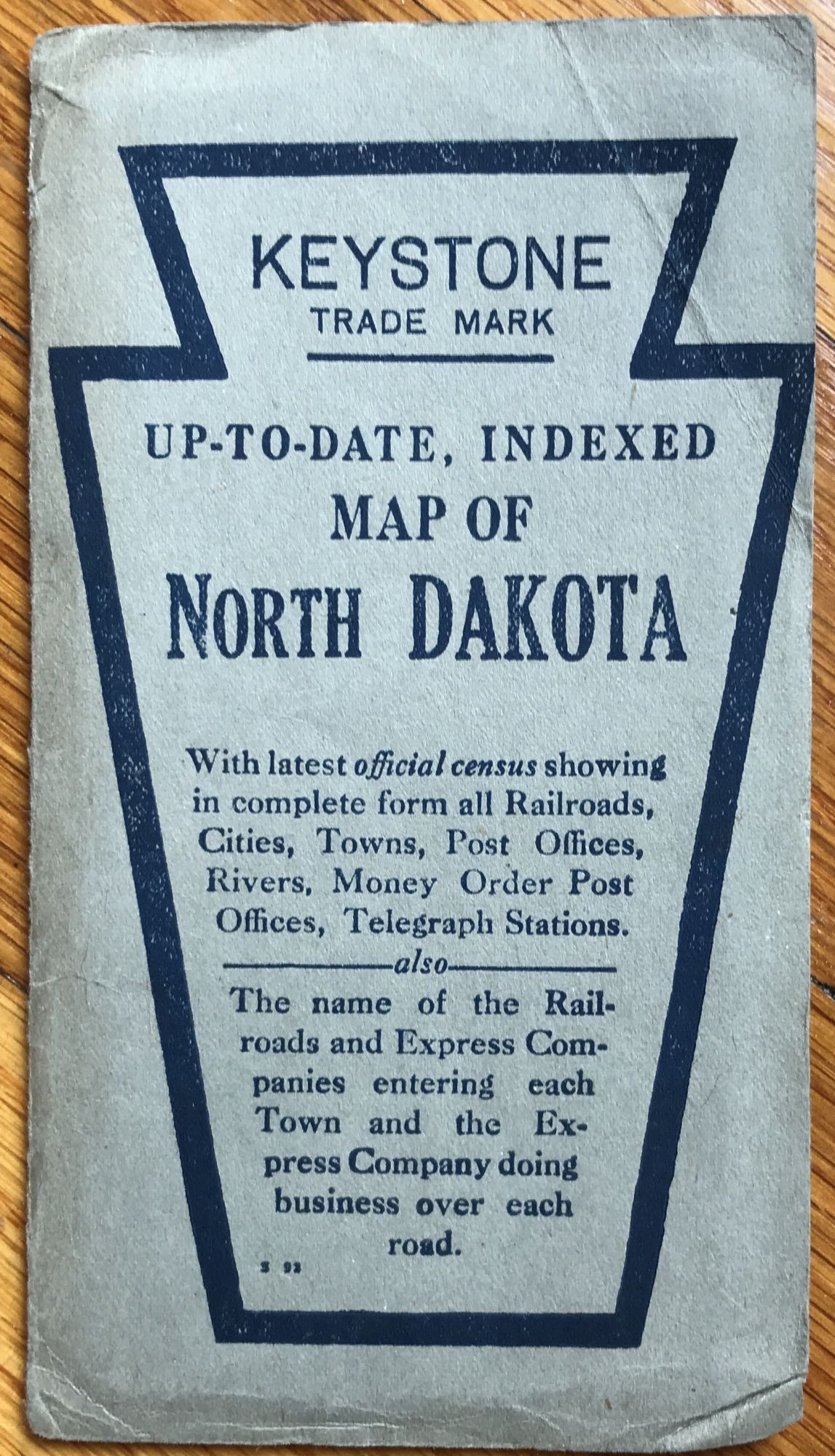
Map of North Dakota with Population and Location of Principal Towns and Cities
Des Moines: Kenyon Company, 1920. Folding map, 15.25 x 19.5 inches. Light wear and dust soiling to wraps. Very light, even tanning to map. Very good. Item #1095
Scarce, colorful folding map of North Dakota. The state counties are shaded in six different colors, with congressional districts outlined in red, and "Chief Auto Lines" delineated in green. The Kenyon Company, mapmakers based in Des Moines, issued several versions of this state map in the first quarter of the 20th century, all quite scarce. We locate copies of the present edition at South Dakota State and the Minnesota Historical Society.
Price: $375.00
See all items by North Dakota