![Item #1093 Hammond's Complete Map of Iowa: Showing Electric and Steam Railroads, Counties, and All Cities, Towns and Villages [cover title]. Iowa.](https://mcbriderarebooks.cdn.bibliopolis.com/pictures/McBRB1093_01.jpg?width=768&height=1000&fit=bounds&auto=webp&v=1576676020)
![Hammond's Complete Map of Iowa: Showing Electric and Steam Railroads, Counties, and All Cities, Towns and Villages [cover title]](https://mcbriderarebooks.cdn.bibliopolis.com/pictures/McBRB1093_02.jpg?auto=webp&v=1576676020)
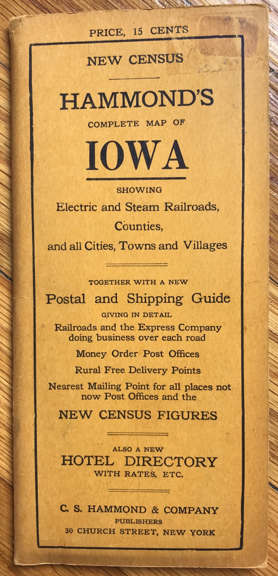
Hammond's Complete Map of Iowa: Showing Electric and Steam Railroads, Counties, and All Cities, Towns and Villages [cover title]
New York: C.S. Hammond & Co., 1912. Folding map, 17 x 28 inches folded to 7.5 x 3.5 inches. Map printed in color. Original printed card covers. Slight separations along a few folds, minor wear and soiling. Very good. Item #1093
A handsome map of Iowa, with each county printed in color and railroads delineated in red. Interestingly, it shows inter-urban electric lines projected or under construction at time of publication. Designed for travellers, it includes a hotel directory printed on the inside of the covers, and includes a postal and shipping guide together with the latest census data printed on the verso of the map. One copy in OCLC, at the University of Minnesota.
Price: $375.00