Official Map of the Highway System of Texas
Austin: State Highway Commission, 1937. Folding map, 26 x 31.25 inches. Light wear and a few minor separations along folds. Light toning. Very good. Item #1047
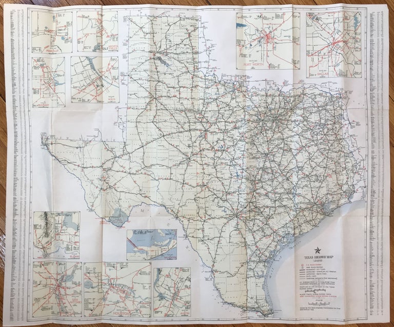
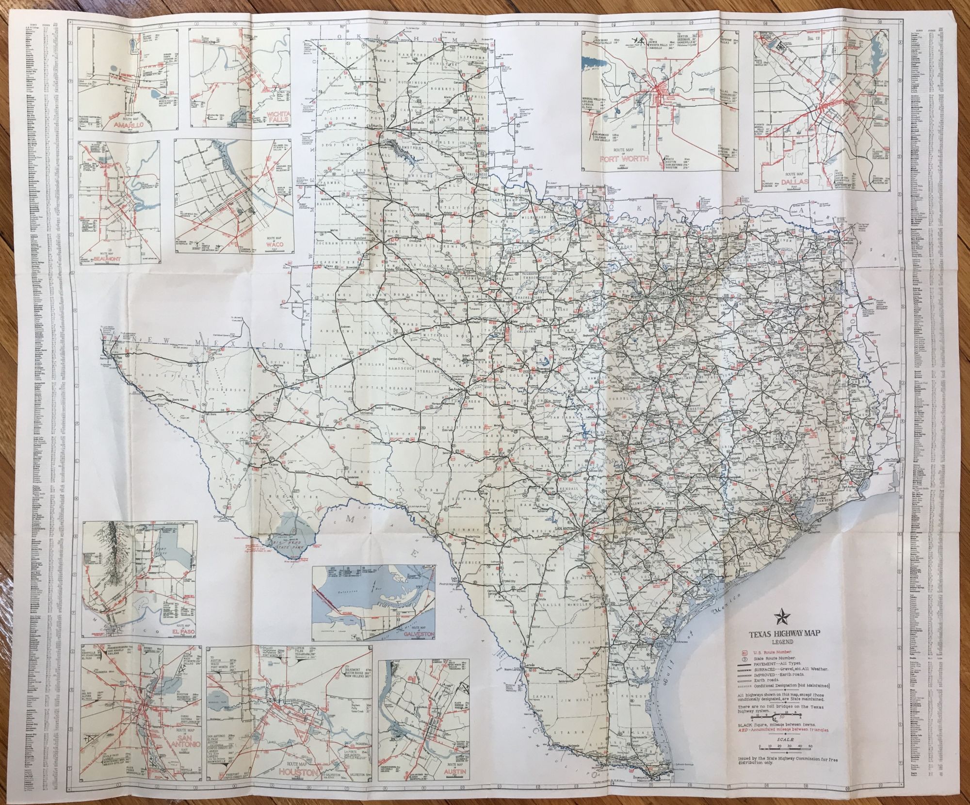
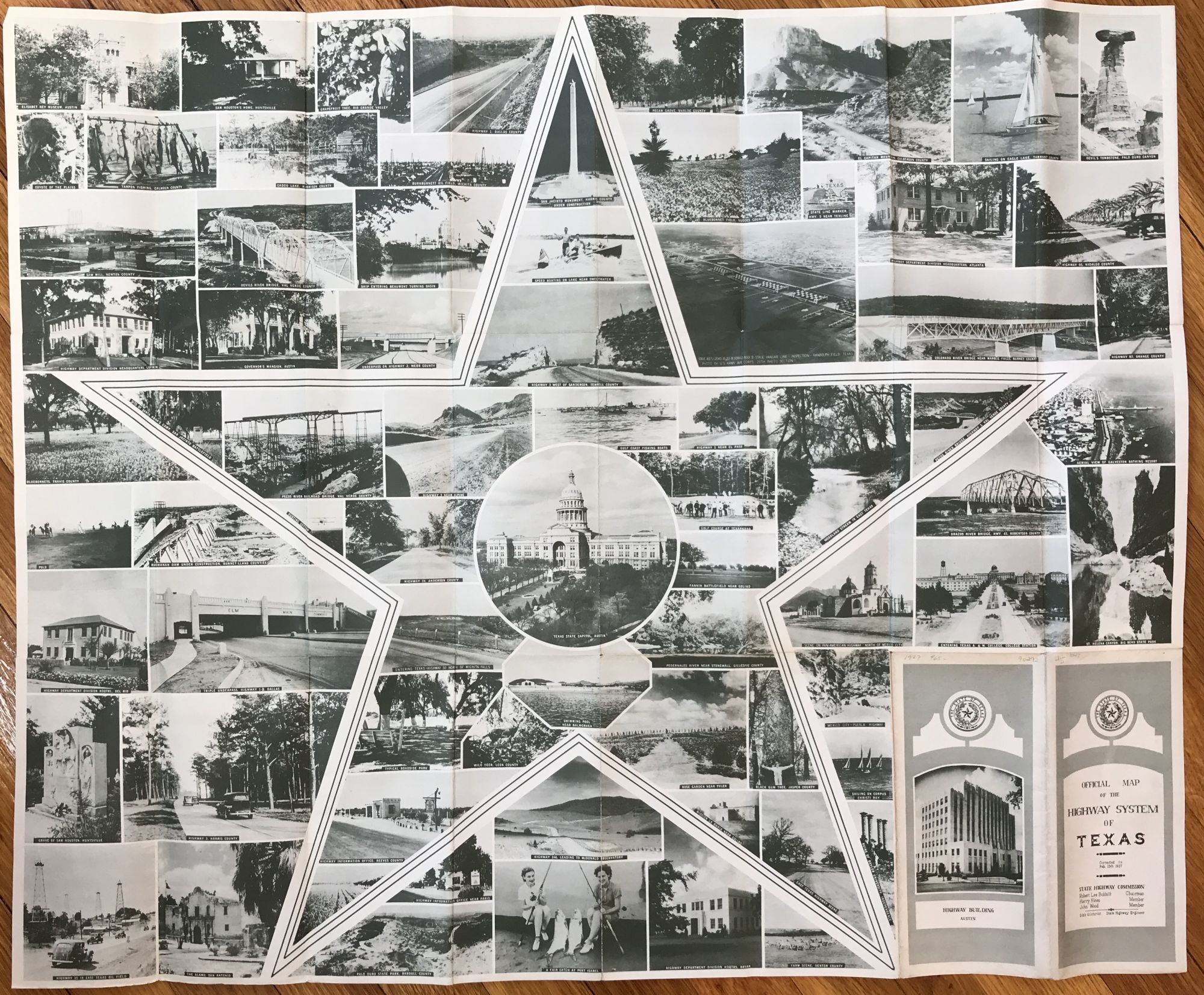
An attractive, color-printed map of the state highway system in Texas as it was in 1937, with eleven inset maps of the major arteries into and around the state's principal cities. The reverse comprises a photographic collage of scenes and attractions in towns and along highways across the state. "The [highway] department devised the first statewide marking system in the 1920s, and in 1929 it placed state and federal route signs including mileages and directions on designated highways in Texas. That same year Texas had 18,728 miles of main highways, 9,271 miles of which was hard-surfaced. The period of the 1930s was marked by the Great Depression and the efforts of the department to provide employment through road construction.... In 1936 there were 1,525,579 registered vehicles in Texas, and the state highway system comprised more than 21,000 miles of roads" - Handbook of Texas Online. A fairly uncommon map that shows the rapid growth of the Texas state highway system during the Depression.
Price: $250.00