[Archive of Correspondence from the Bridgeport Gold and Silver Mining Company Near Grass Valley, California]
[Various locations in California: 1864-1874]. Ninety-four letters, totaling [153]pp. Mostly octavo. Leaves lightly dampstained and toned, some faded. Old folds, some separation and brittleness, a few small areas of loss or tearing. An extensive archive documenting the activities of the Bridgeport Gold and Silver Mining Company in Sweetland, California. Sweetland..... More


![Item #957 Great Belt Gold Mining Company of Los Angeles, California [caption title]. California,...](https://mcbriderarebooks.cdn.bibliopolis.com/pictures/McBRB957.jpg?width=320&height=427&fit=bounds&auto=webp&v=1586532614)
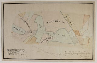
![Item #642 [Papers Relating to the Quartzburg Mining Company of Point Richmond, California]....](https://mcbriderarebooks.cdn.bibliopolis.com/pictures/McBRB642.jpg?width=320&height=427&fit=bounds&auto=webp&v=1564256206)
![Item #1262 Progress Report, Goldstone Mining Company [caption title]. California, Mining](https://mcbriderarebooks.cdn.bibliopolis.com/pictures/McBRB1262_01.jpg?width=320&height=427&fit=bounds&auto=webp&v=1611240945)
![Item #2050 [Three Autograph Letters from a Gold Mining Engineer Working Near Oroville]....](https://mcbriderarebooks.cdn.bibliopolis.com/pictures/McBRB2050.jpg?width=320&height=427&fit=bounds&auto=webp&v=1621344962)
![Item #3366 Map of Long Beach Oil Field, Los Angeles Co., Cal. [caption title]. California, Oil](https://mcbriderarebooks.cdn.bibliopolis.com/pictures/McBRB3366.jpg?width=320&height=427&fit=bounds&auto=webp&v=1663336358)
![Item #1934 The Miner's Ten Commandments [caption title]. California, Pictorial Letter Sheets,...](https://mcbriderarebooks.cdn.bibliopolis.com/pictures/McBRB1934.jpg?width=320&height=427&fit=bounds&auto=webp&v=1643211040)
![Item #685 Los Angeles: The Gateway to Southern California [cover title]. California, Railroads](https://mcbriderarebooks.cdn.bibliopolis.com/pictures/McBRB685_01.jpg?width=320&height=427&fit=bounds&auto=webp&v=1563022134)
