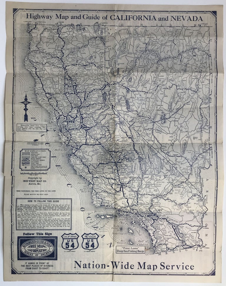
Highway Map and Guide of California & Nevada
Aurora, Mo. Midwest Map Company, [ca. 1930?]. Folding map, 22 x 17 inches. Old fold lines, some light wear. Very good. Item #964
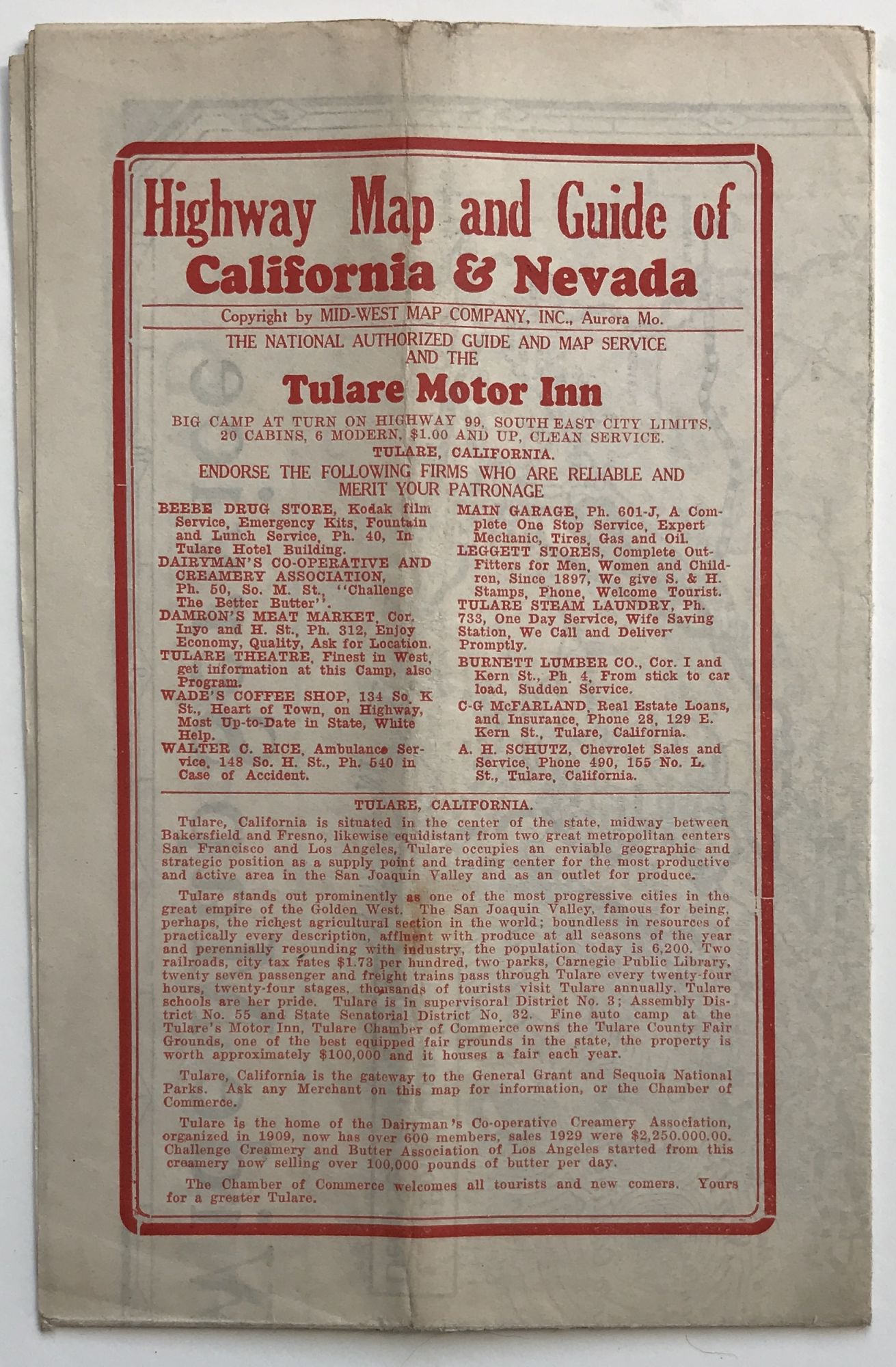
Folding highway map of California and Nevada, with extensive advertising for the Tulare Motor Inn in Tulare, California. The advertising section is printed in red, while the rest of the map is printed in blue. The map key delineates paved, improved, and earth roads, as well as connecting county roads. Interestingly, almost none of Nevada's roads are paved; the stretch of road from Carmel to San Simeon, through Big Sur, is a combination of improved and unpaved. Numerous small towns are marked, as are national parks. It seems likely that the general map information was printed with space left for custom sponsorship, such as that of the Tulare Motor Inn on the present example. One copy in OCLC, at Cornell University.
Price: $500.00