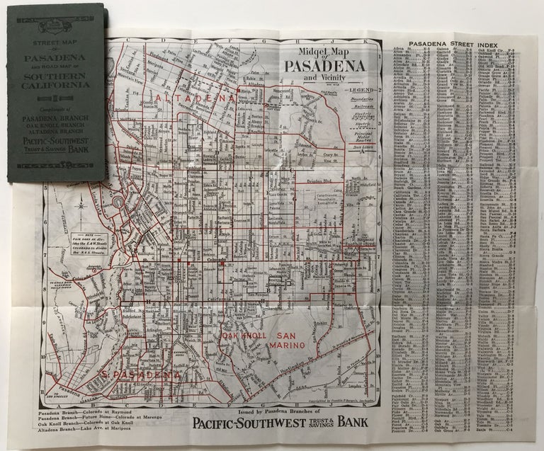
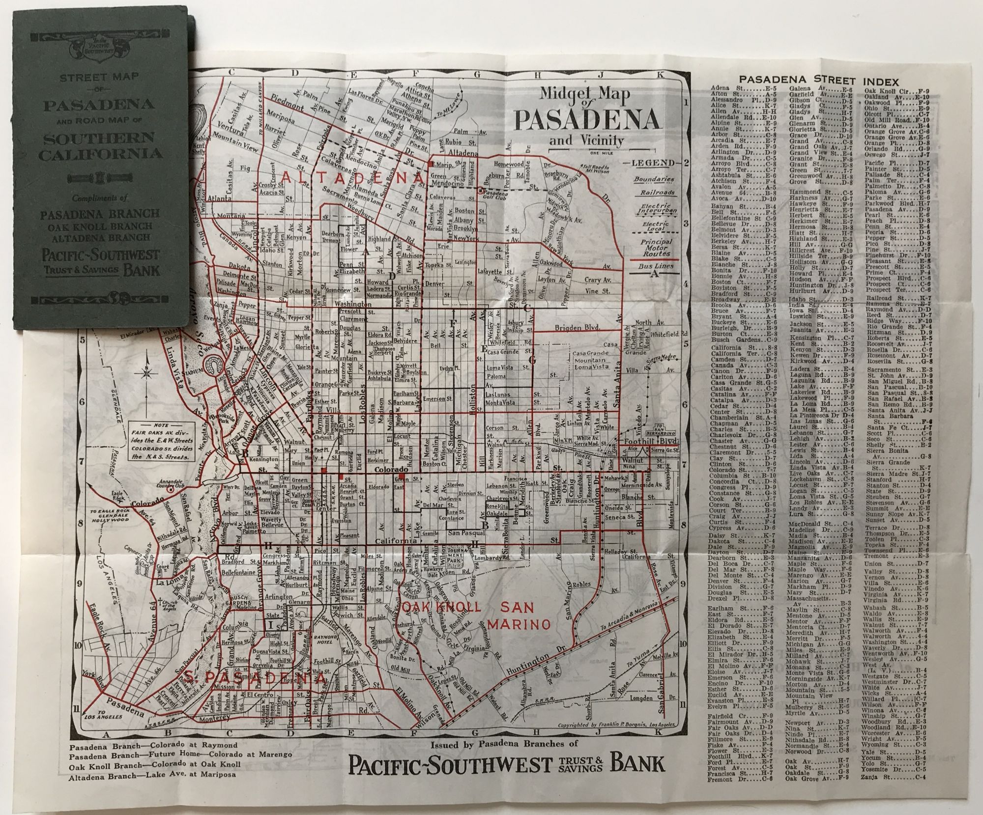
Midget Map of Pasadena and Vicinity
Los Angeles: Franklin P. Borgnis, 1923. Folding map, 9.5 x 11.75 inches. Original printed wrappers. Very light wear to wraps. A couple of small separations along fold lines. Very good. Item #958
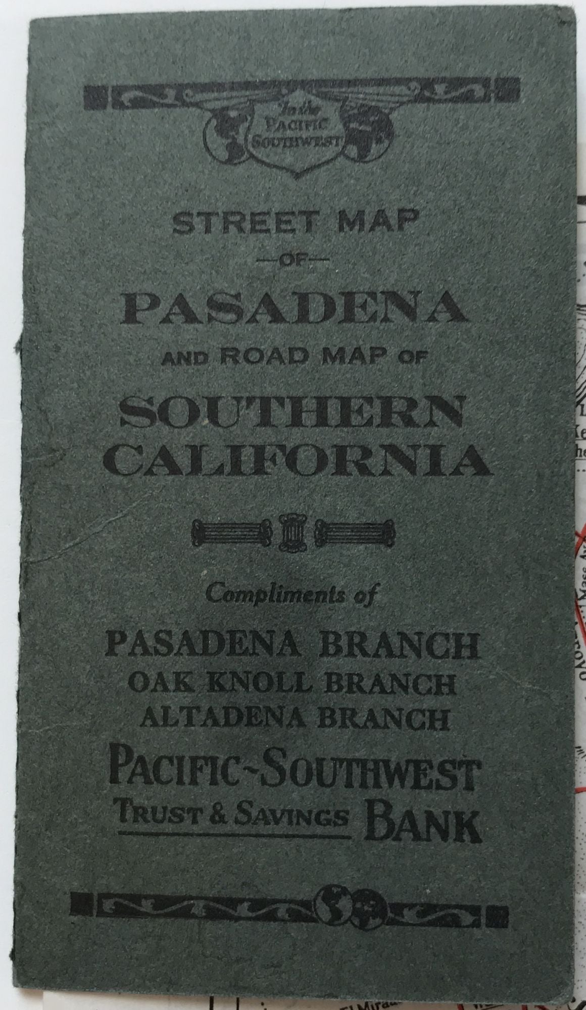
A small but attractive double-sided folding map that depicts the street layout of Pasadena as well as well as the major motor routes in the Los Angeles region. The map of Pasadena is quite detailed, and delineates the principal roads of the city in red. It also provides a street index to the right of the map. The other side of the sheet prints a "Motor and Relief Map of Southern California," which provides a bird's-eye view of the region south of the San Gabriel Mountains as well as two small insets of the routes from San Diego to Los Angeles and Los Angeles to San Francisco. The map was distributed as a promotional by local branches of the Pacific-Southwest Trust & Savings Bank. We locate only one copy, at the Pasadena Public Library.
Price: $250.00