![Item #715 Weber's Map of Sierra County California [cover title]. California.](https://mcbriderarebooks.cdn.bibliopolis.com/pictures/McBRB715_01.jpg?width=768&height=1000&fit=bounds&auto=webp&v=1561595457)
![Weber's Map of Sierra County California [cover title]](https://mcbriderarebooks.cdn.bibliopolis.com/pictures/McBRB715_02.jpg?auto=webp&v=1561595457)
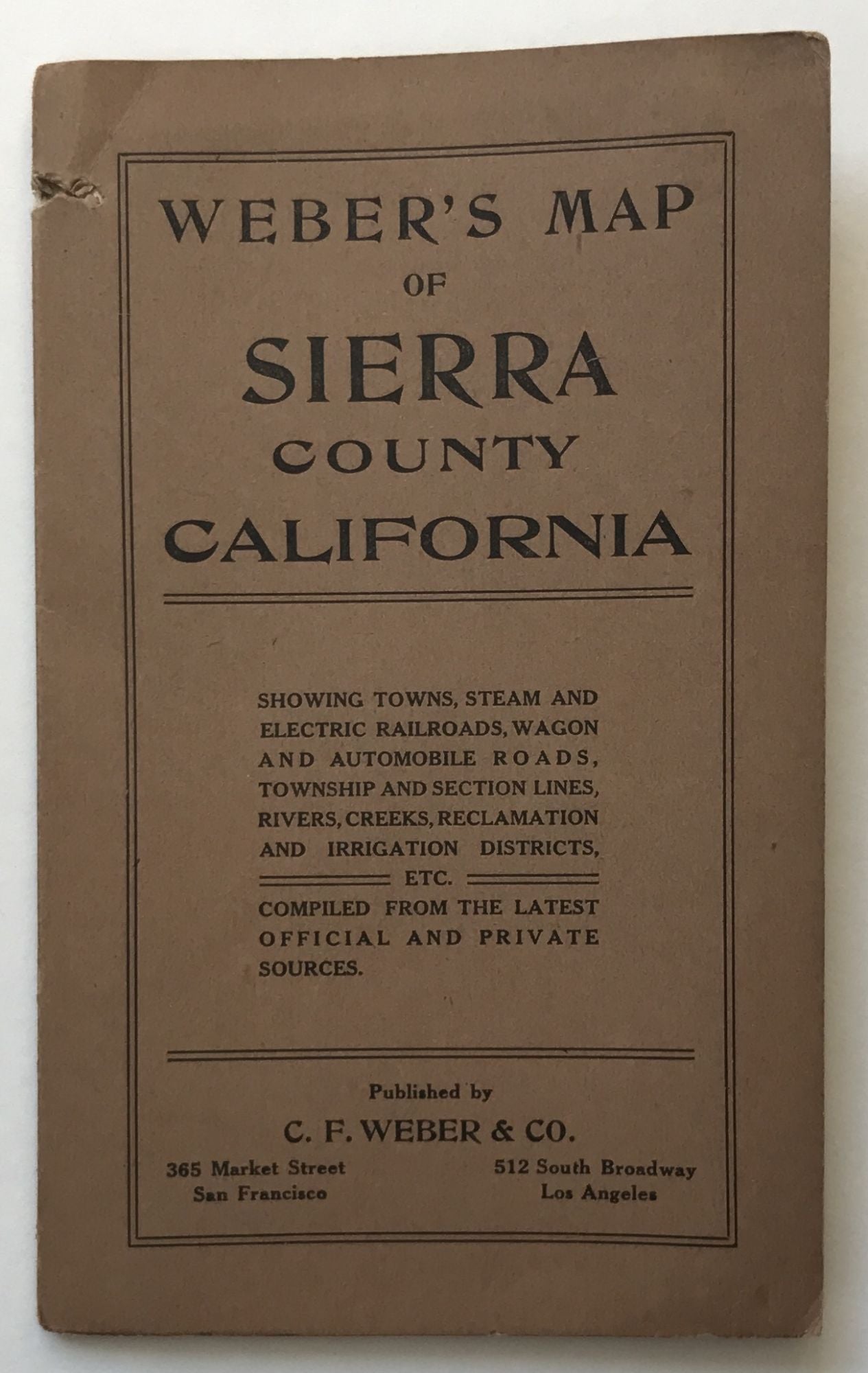
Weber's Map of Sierra County California [cover title]
San Francisco; Los Angeles: C.F. Weber & Co., 1914. Folding map, 20 x 26.5 inches. Original printed wrappers. Small perforation at upper margin of wraps, also slightly affecting upper map border. A few slight separations at fold points. Light tanning. Still very good. Item #715
A scarce and attractive folding map of Sierra County, California, “Showing towns, steam and electric railroads, wagon and automobile roads, township and section lines, rivers, creeks, reclamation and irrigation districts, etc.” The map clearly marks out township plats. County lines are delineated in pink, with the map centered on Sierra County, but also it also depicts the northern part of Nevada County, the southern part of Plumas County, and the eastern tip of Yuba County. OCLC locates three copies, at the Huntington, the California Historical Society, and UC Berkeley.
Price: $500.00