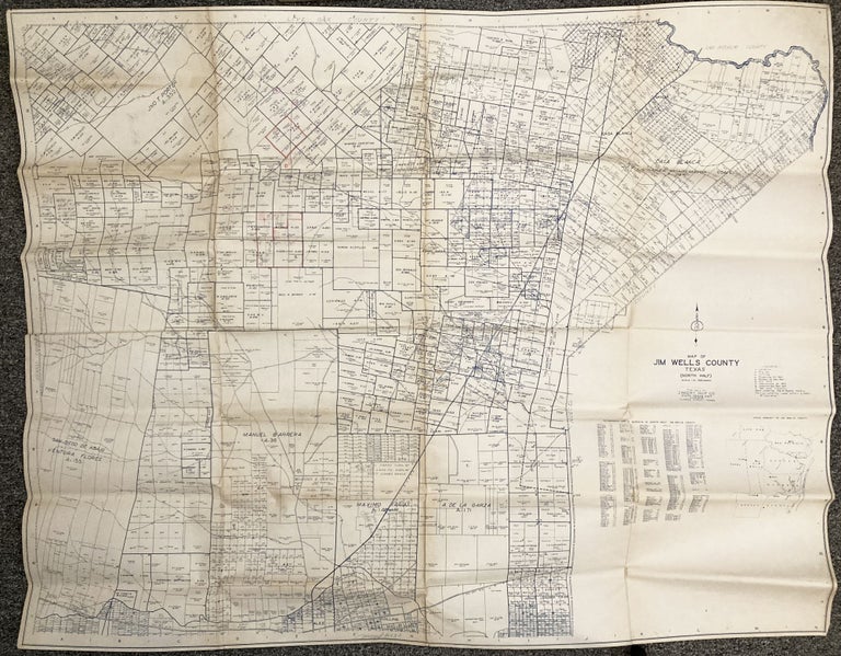
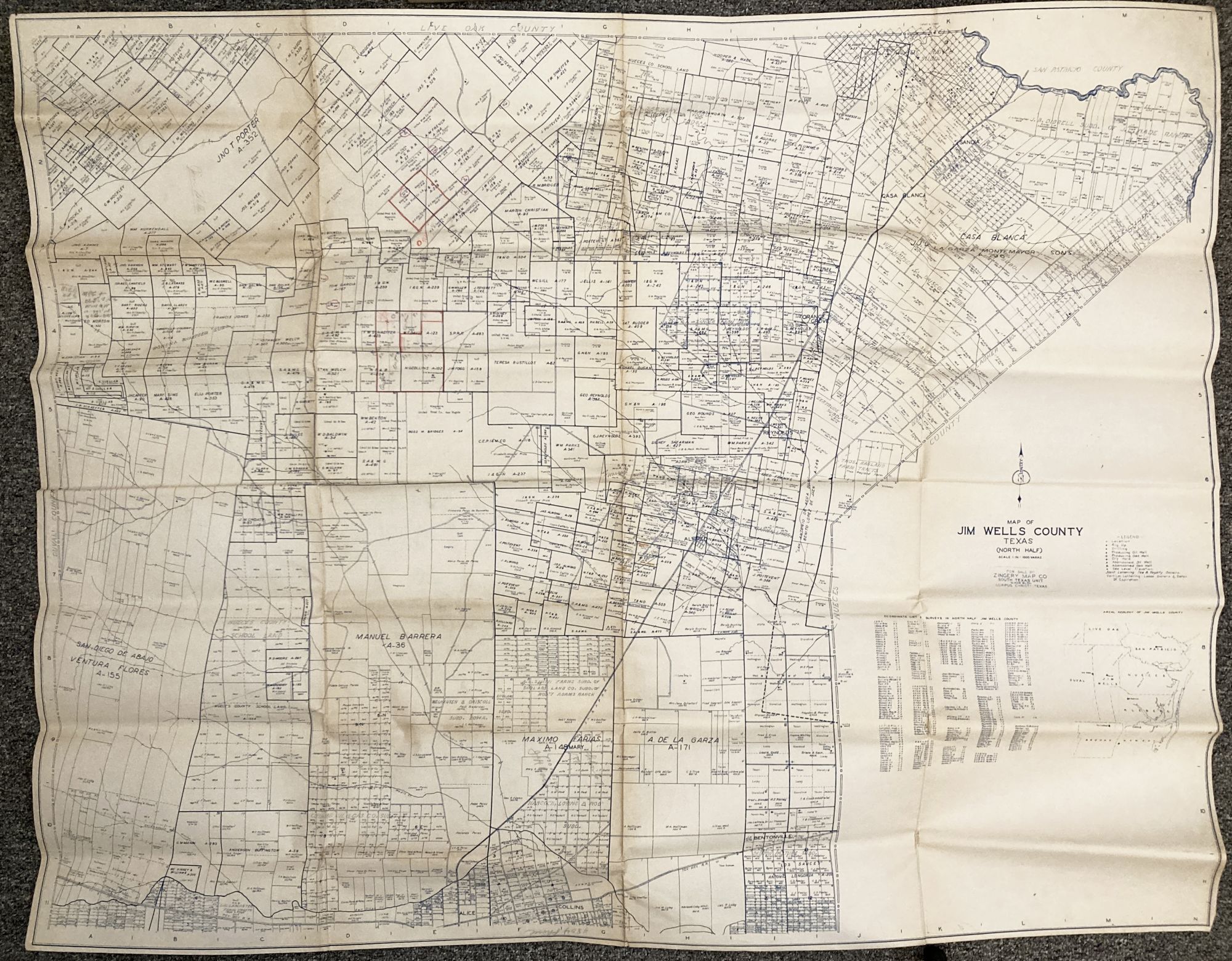
Map of Jim Wells County, Texas (North Half)
Corpus Christi, Tx. Zingery Map Co., [ca. 1930]. Blueline sheet map, 41.5 x 52 inches. Printed on thick paper. Old folds. Contemporary manuscript notations and coloring. Minor soiling at center fold. Very good. Item #3009
Large and handsome blueline map of the northern portion of Jim Wells County, in far southeast Texas. The map contains a key indicating oil well information such as rigs, dry holes, active wells, etc. Individual plots are outlined and labeled as to ownership and acreage, as well as drilling company if one is present. Neat manuscript notations indicate updated ownership and drilling information; a previous owner has also made notes in red and regular pencil with further intelligence about the subject. No copies in OCLC.
Price: $1,250.00