![Item #1235 Central California Mileage Maps and Guide Through Cities [cover title]. California, Automobiles.](https://mcbriderarebooks.cdn.bibliopolis.com/pictures/McBRB1235_01.jpg?width=768&height=1000&fit=bounds&auto=webp&v=1586954511)
![Central California Mileage Maps and Guide Through Cities [cover title]](https://mcbriderarebooks.cdn.bibliopolis.com/pictures/McBRB1235_02.jpg?auto=webp&v=1586954511)
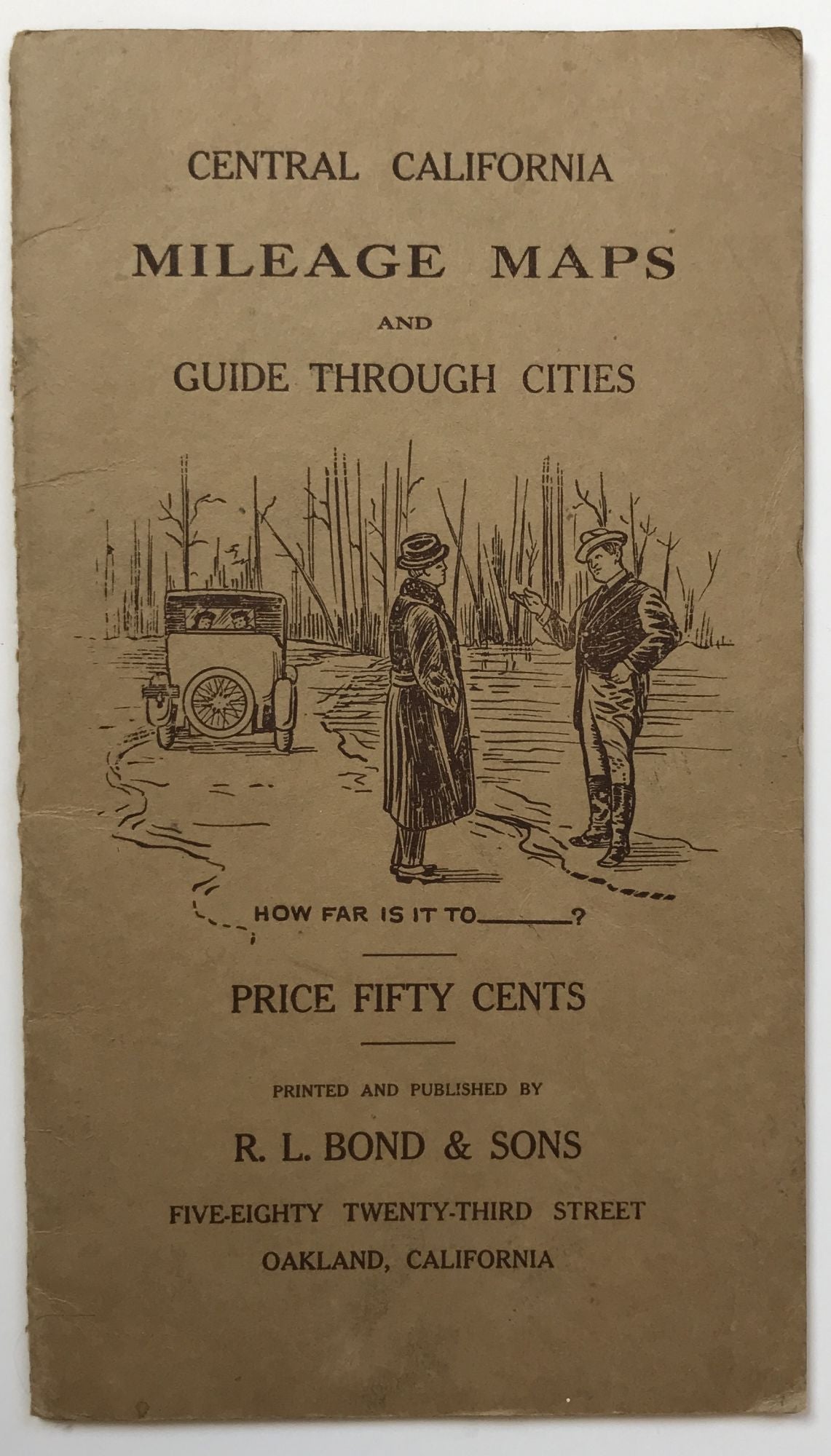
Central California Mileage Maps and Guide Through Cities [cover title]
Oakland: R.L. Bond & Sons, 1917. Folding map, 18 x 29.5 inches. Original printed card wrappers. Light wear along edges and spine. Light wear and dust soiling along map folds. Map printed on coated paper, and tipped into wraps in reverse. Very good. Item #1235
A somewhat crude, unrecorded mileage map for driving destinations between Los Angeles and the Bay Area, published in 1917. The map shows routes between major towns and cities on the California coast, in the Central Valley and southern desert, with mileages between them and major route intersections. Eleven small insets show the fastest routes through San Francisco, Oakland, San Jose, Stockton, Modesto, Fresno, Santa Cruz, San Luis Obispo, Santa Barbara, Bakersfield, and Los Angeles. A neat piece of early California automobiliana, in quite good condition; not in OCLC.
Price: $600.00