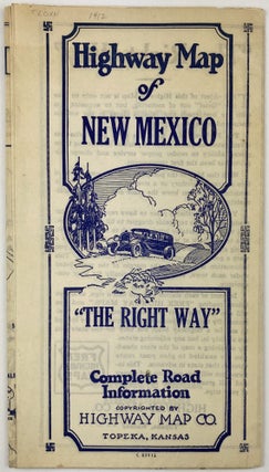
Highway Map of New Mexico / Highway Map of Arizona
Topeka: Highway Map Co., [ca. 1920s]. Folding map, approximately 17 x 28 inches. Light wear and dust soiling along folds. Light tanning. Scare dual highway maps of New Mexico and Arizona, printed on each side of the sheet. The publisher, Highway Map Company of Topeka, published a series of slightly..... More