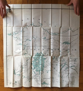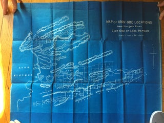
Map of Iron Ore Locations Near Sturgeon River East Side of Lake Nepigon [caption title].
[Toronto? ca. 1900]. Folding blueprint map, approximately 22 x 27 inches. Small perforation at lower right corner, not affecting map area. Unrecorded large blueprint map of iron ore deposits between the east shore of Lake Nipigon and the Sturgeon River in Ontario, northwest of Thunder Bay. The map shows rectangular..... More